VA
Claytor P-739
General information | |
| Waterway |
New River |
| Current status | Active license |
| Type of facility | Conventional Hydro |
| Mode of hydropower generation | Run-of-river |
| Type of permit | FERC License |
FERC information | |
| FERC docket # | P-739 |
| FERC project name | Claytor |
| Permit issued | 12/22/11 |
| Permit expiration | 11/26/41 |
Ownership and operation | |
| Owner | Appalachian Power Co |
| Owner type | Investor-Owned Utility |
| Year first online (conventional hydro) | 1939 |
| Transmission or distribution system owner | Appalachian Power Co |
Power and generating capacity | |
| Number of units | 4 |
| Total capacity from hydraulic turbine-generator units within each plant | 74.8 MW |
| Average annual net hydropower generation | 208,510.8 MWH |
Download License Summary for the Claytor Project.
Constructed in 1939, the Claytor project has had two previous license- one issued in May 1943 and the other in August 1980. The newest license was issued in December 2011. The project is located on the New River in Pulaski County in the Commonwealth of Virginia.
The Claytor Project consists of:
- a 1,142-foot-long, 137 foot high concrete gravity dam;
- a 4,363-acre reservoir with a storage capacity of 225,000 acre-feet at a normal pool elevation of 1,846.0 feet National Geodetic Vertical Datum (NGVD);
- four 16-foot-diameter penstocks;
- a powerhouse integral with the dam containing four generating units with a combined capacity of 75 MW;
- an 827-foot-long transmission line; and
- appurtenant equipment.
Milestones
| License Application Filed | 06-29-2009 |
| Draft EA Issued by FERC | 08-12-2010 |
| Final EA Issued | 04-08-2011 |
Is there something you’d like to add or correct? Please let us know.
News and updates
From Trout Unlimited4/4/2024
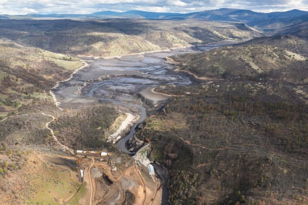
Klamath Reservoir Drawdowns: Short-term Costs for much larger long-term gains
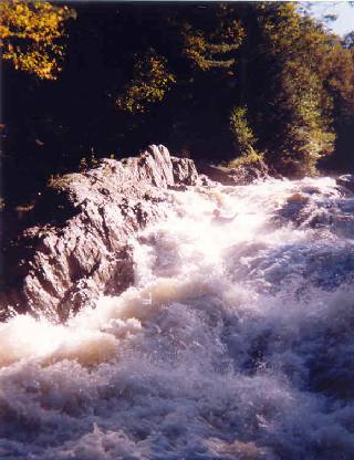
From American Whitewater3/28/2024
Wells River (VT) Whitewater Access to be Improved under New FERC License